Our Geographic Information Systems (GIS) services include maintaining a system of spatially referenced data to support the primary mission of the Facilities & Construction department as well as coordinating data needs of other Departments on campus. This includes collecting, creating and maintaining spatial information of all assets on campus for the College.
We are responsible for ensuring the ACC base map, utilities and other critical datasets are maintained. We work with other departments throughout ACC to provide custom map applications, systems and tools that rely on these geospatial systems. In addition, the data we maintain supports our interactive Campus Map, a web-based GIS map that contains information on all ACC’s buildings, parking, accessibility and other resources available on campus.
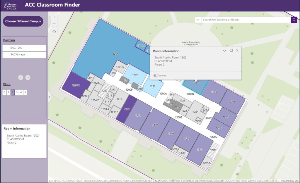
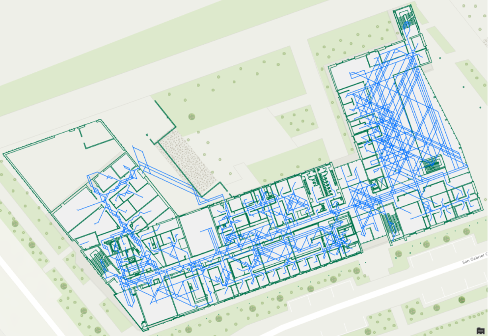
We are currently working on developing a room finder application to help the community find their way around campus. This is an example of the work that goes into developing this product from scratch.